NORTH SLOPE

TRAIL PAGE LINKS

LOCATION

The staging area for this loop is located just off Highway 12 on Fishcreek Road.

TRAIL TYPE

This trail is an ATV or OHV trail. There are a few different hikes you can choose to take along the way.

DISTANCE

The North Slope ATV trail is 12 miles long. Each trail leading of the main one will indicate specific distances.

DIFFICULTY

EASY – This trail is considered for the most part easy. The last couple of miles on the trail are really rocky and become way more advanced.

TRAIL DESCRIPTION

Mostly a dirt trail with some rocky parts.

TRAIL COORDINATES / POINTS OF INTEREST

Name GPSLatitudeLongitude
North Slope Staging Area AN 38d14’17” W 111d22’32”38.238056-111.375556
North Slope Staging Area BN 38d12’40” W 111d22’21”38.211111-111.3725
Carcass Creek Loop Lower TrailN 38d12’20” W 111d22’32”38.208056-111.375556
Upper TrailN 38d11’54” W 111d23’09”38.198333-111.385833
Fish Creek Staging AreaN 38d11’40” W 111d24’04”38.194444-111.401111
Green LakeN 38d11’20” W 111d26’58”38.188889-111.449444
Fish Creek ReservoirN 38d09’50” W 111d26’06”38.163889-111.435

North Slope

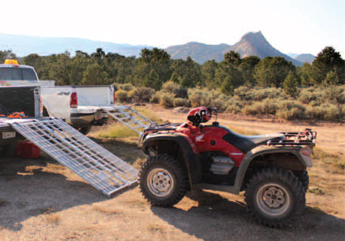
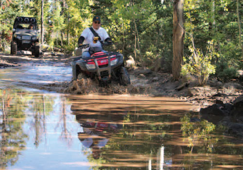
EQUIPMENT
This trail is designed for ATV and OHV only.

ENVIRONMENT
The weather varies and will affect the road conditions greatly. Be sure to check the Visitors Center before starting out on your tour.

SAFETY
If you run into problems, help may not be able to arrive right away so make sure you are prepared with enough food, water and clothing.

TRAIL TIP
There is dispersed camping along the trail, but no facilities. Make sure that you have accommodations in a local town to be sure that your needs are met.

TitleCategoryAddressDescriptionLink

Get Directions

show options hide options

Take in the Views

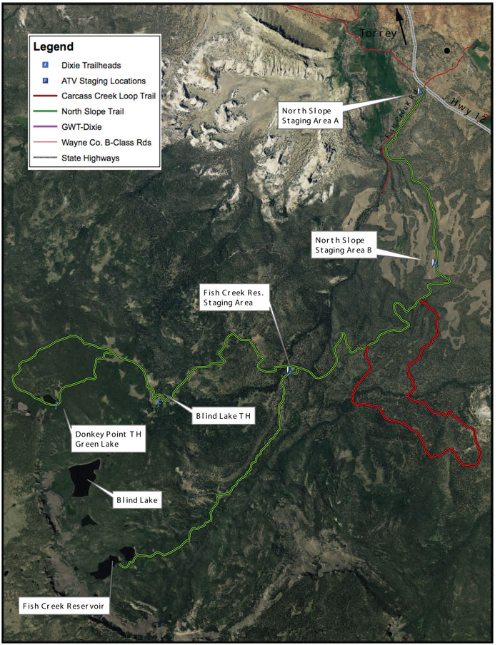
Right from the beginning of the trail, the North Slope has incredible views and places to explore. Don’t rush the trail, just remember to take some time and sqeeze everything in.
 

Get a Closer Look

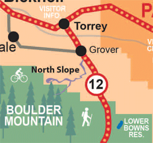
The trail head locations will give you some points of interest and the coordinates to help you get the most out of your ride.

Do it at Your Own Pace

 
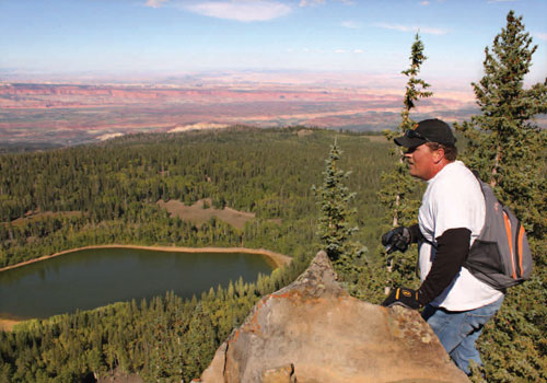
Making time to see the best views would mean taking a hike from Green lake to top of the mountain. This hike is a 25 minute hike. It is very strenuous, but worth the effort.

Elevation at Green Lake: 10,371
Elevation at point: 11,050

TRAILS MASTER MAP

TitleCategoryAddressDescriptionLink

Get Directions

show options hide options

Other Trail Pages