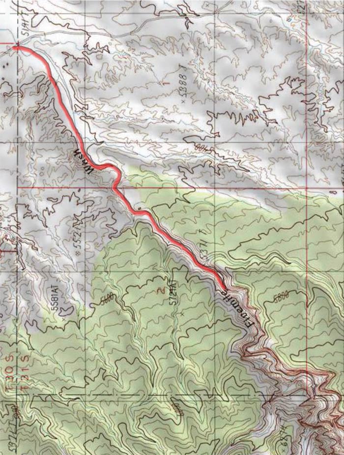
The wash is 11 miles south of UT 24 along the Notom- Bullfrog road and is identified by a sign.
TRAIL TYPE
This trail is for hiking only.
DISTANCE
This trail is about 2 miles, (3.1 km), one way. The elevation at the trailhead is 4508 ft. with a gain of 720 ft.
DIFFICULTY
MODERATE – This trail is moderate with some difficult parts of the path that are harder to negotiate.
TRAIL DESCRIPTION
The path is rocky. Some parts have been covered with fallen rock that you will have climb over. The trail continues from the last mapped point into Capitol Reef National Park.
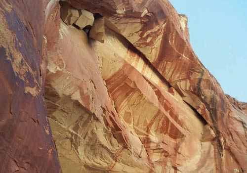
There are points at which you can hike up the canyon which will lead to the rim level. This hike which has quite spectacular views over the surrounding domed summits, the eastern plateau beneath the Henry Mountains and of the canyon itself.
Get a Closer Look
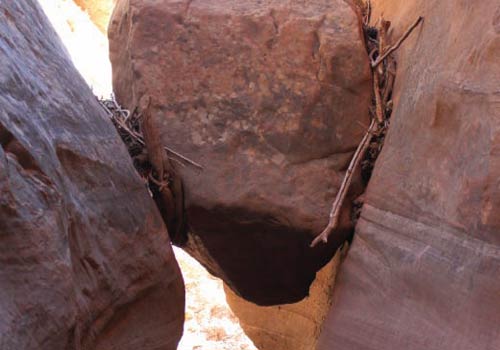
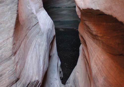
Down inside the wash is a path of winding narrows that are spectacular to see. The path is the perfect combination of shallow, twisted narrows, dryfalls, pools and flat sections. The Navajo sandstone and red rock make for a beautiful array of color.
Do it at Your Own Pace
Usually people will turn around as they reach the dryfall point of the trail. This can be circumvented by carefully going up the rock slide on right (back 50 yards) and circling up and around the fall. Please note that this route is not suggested, but noted as possible.