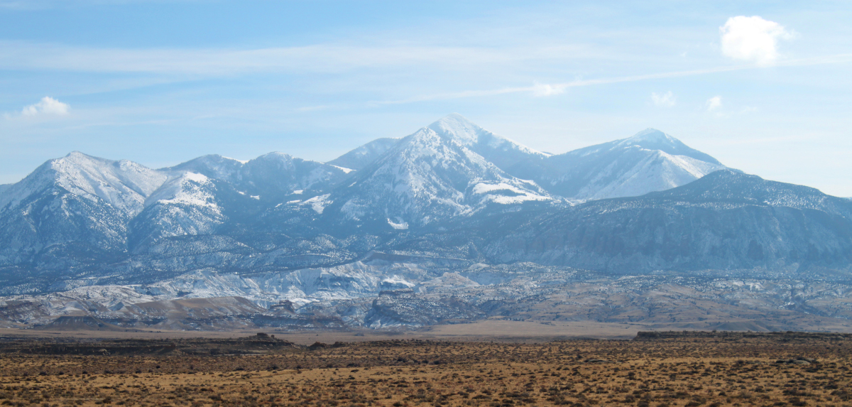
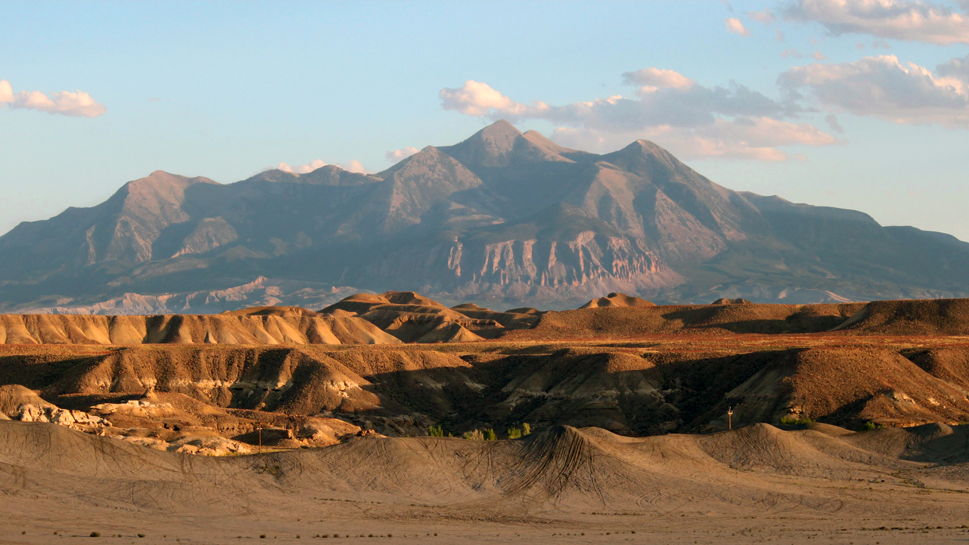
The Henry Mountains are a remote mountain range on the Colorado Plateau encompassing about two million acres of rugged backcountry and running about 30 miles from north to south. Elevation ranges from 3,700 feet at the north shore of Lake Powell to a peak elevation of 11,522 feet at Mt. Ellen. Hanksville to the north is the nearest significant community to be used as an exploration base.
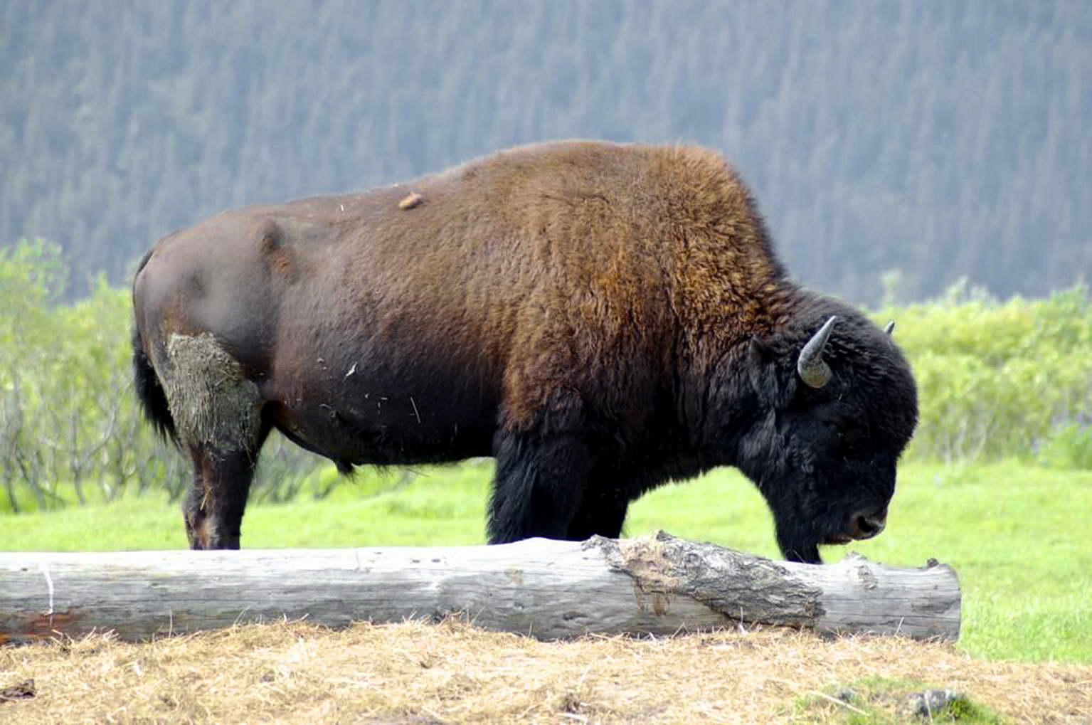
A mecca for outdoor recreation, the Henry Mountain range is an ideal destination for hiking, camping, off-roading, photography, hunting and wildlife viewing. The range is home to one of only four pure bison herds–and the only huntable herd of free-roaming bison–on public lands in North America. A limited number of hunting permits are issued each year. In the warmer seasons, the herd of about 500 generally can be found above 10,000 feet in the alpine grasslands along South Summit Ridge of Mt. Ellen. The mountain range is also home to mule deer, antelope and mountain lions, as well as jackrabbits and other small mammals, game birds, snakes (including rattlesnakes) and rodents. McMillan Springs, Lonesome Beaver and The Horn are excellent sites for wildlife viewing.
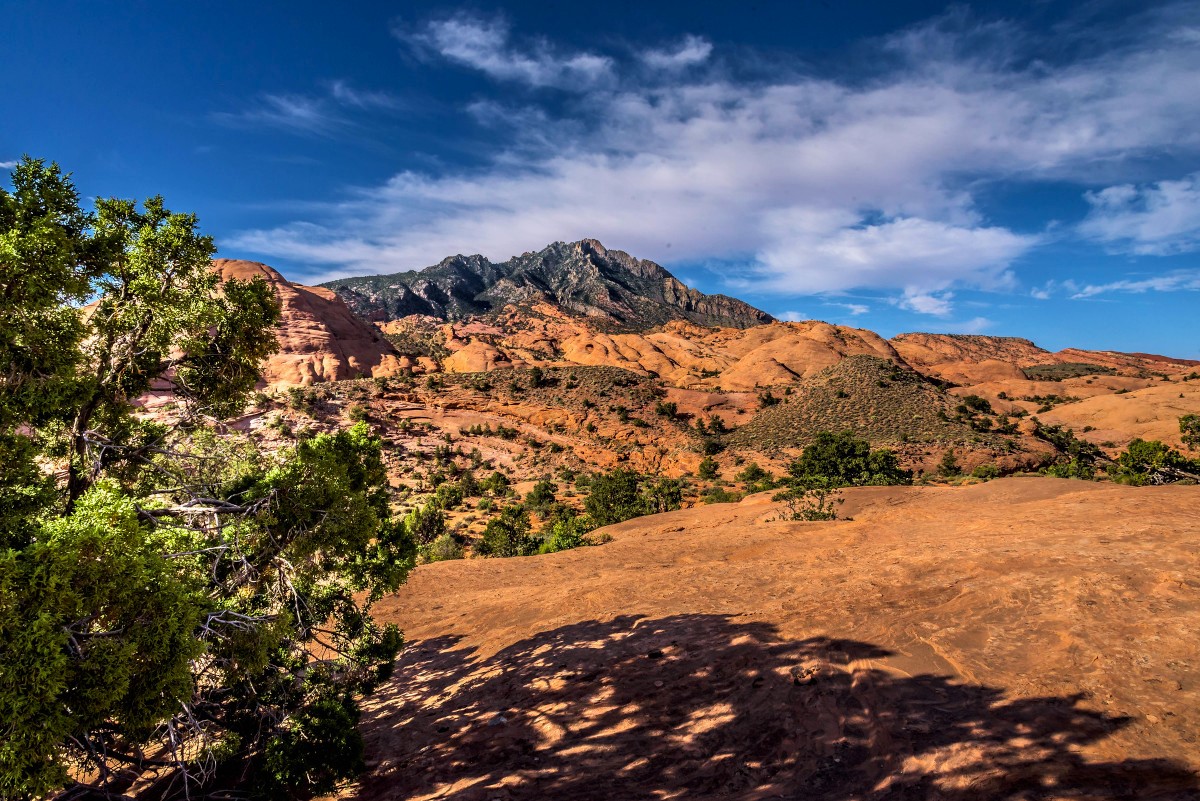
 For sweeping views of southern Utah, try the 4-mile round-trip trail from Bull Creek Pass to the summit of Mt. Ellen. The trail from Dandelion Flat to Lonesome Beaver is another four-mile hike along a ridge of Mt. Ellen. Shorter hikes and nature trails can be found near Starr Springs campground and Hog Springs picnic area, both managed by the BLM. Be sure to inquire about backcountry permits at the BLM offices in Hanksville when planning overnight back-country trips through the Little Rockies, South Caineville Mesa, the Dirty Devil River canyons and Horseshoe Canyon.
This extremely isolated mountain range is managed by the BLM but they patrol infrequently. When exploring these dry, rugged and remote lands be prepared with food, water and a well-maintained vehicle that is able to navigate the dirt and gravel backcountry roads. While not regularly maintained, they lead to amazing sights well worth the trip such as the desert vistas from Bull Creek, Stanton and Pennellen passes, and views of the Dirty Devil River from Burr Point and Angel Point. Geologic highlights include views of the near-vertical Pink Cliffs of the Grand Staircase, Horseshoe Basin, Little Egypt and of course the Waterpocket Fold on the west side of the mountains. The Horn offers varying levels of technical climbing.
The Henry Mountain range is divided into two groups by Highway 276. The northern section peaks at 11,522 feet at Mt. Ellen, with Mt. Pennell a close second at 11,371 feet. The highest peak in the southern group, known as the Little Rockies, is Mt. Ellsworth at 8,235 feet. The Henry Mountains’ geology is similar to the La Sal and Abajo mountain ranges, characterized by intrusive igneous rock that is said to be 23 to 31 million years old, and embedded in sedimentary rock from the Permian and Cretaceous periods. More info. – found here.
Keep Capitol Reef Country Forever Mighty
What is Forever Mighty? It’s practicing responsible travel while visiting Utah and Capitol Reef Country by following the principles of Tread Lightly and Leave No Trace.
Plan ahead and prepare, travel and camp on durable surfaces, dispose of waste properly, leave what you find, minimize campfire impacts, respect wildlife, be considerate of others, support local business and honor community, history and heritage. Help us keep Utah and Capitol Reef Country’s outdoor recreation areas beautiful, healthy, and accessible.