Capitol Reef’s Waterpocket Fold is the defining geologic feature of this majestic national park. This wrinkle in the earth’s surface extends for nearly 100 miles, creating a dramatic landscape of rugged cliffs and canyons, striking natural bridges and arches, and distinct formations in the heart of red rock country. This warp in the Earth’s crust is a classic monocline: a steep fold on one side of otherwise horizontal geological layers, about 7,000 feet higher in the west than on the east.
Like most folds, the Waterpocket Fold was formed along an underlying fault; in this case during the Laramide Orogeny, a major mountain-forming event that occurred 50 to 70 million years ago. More recent uplift (about 15 million years ago) along the Colorado Plateau resulted in further erosion and exposure, creating “waterpockets”—hence the name—that formed as tilted sandstone layers were eroded by water to develop the cliffs, domes, canyons, arches and monoliths that could only be created by this incredible force of nature.
The Waterpocket Fold runs north-south from Thousand Lake Mountain all the way to Lake Powell. Scenic Highway 24 runs through the heart of the park, and is the only paved road that crosses the rugged terrain of the Waterpocket Fold. The incredibly scenic Burr Trail also crosses the Waterpocket Fold, from Boulder to Notom-Bullfrog Road; in fact, the Notom-Bullfrog Road/Burr Trail/Scenic Highways 12 and 24 loop is pretty popular. But Notom-Bullfrog Road is the only road that runs parallel to the Fold. It winds along the east side for more than 60 miles, giving great access to the scenic southern section of Capitol Reef National Park, plus views of the Henry Mountains. Read more about the Waterpocket Fold by clicking on the link.
Although sections of Notom-Bullfrog Road are rugged, sandy and muddy, the road is pretty accessible without a four-wheel-drive vehicle under normal conditions. There are tons of slot canyons and trails just waiting to be explored in Capitol Reef NP. Three of the most popular slot canyons that can be accessed from Notom-Bullfrog Road are Burro Wash, Cottonwood Wash and Sheets Gulch. These open washes quickly narrow into rugged slot canyons carved right into the landscape of the Waterpocket Fold. Lower Muley Twist Canyon is another deep and narrow slot canyon of the Fold, accessible from the Burr Trail Junction switchbacks. Upper Muley Twist Canyon provides some of the most dramatic views of the Waterpocket Fold’s eroded Wingate sandstone and massive arche
Keep Capitol Reef Country Forever Mighty
What is Forever Mighty? It’s practicing responsible travel while visiting Utah and Capitol Reef Country by following the principles of Tread Lightly and Leave No Trace.
Plan ahead and prepare, travel and camp on durable surfaces, dispose of waste properly, leave what you find, minimize campfire impacts, respect wildlife, be considerate of others, support local business and honor community, history and heritage. Help us keep Utah and Capitol Reef Country’s outdoor recreation areas beautiful, healthy, and accessible.
s. The Post and Hall’s Creek Overlook are spur roads that lead to some more distinct and well-known features of the Waterpocket Fold, including Brimhall Natural Bridge.
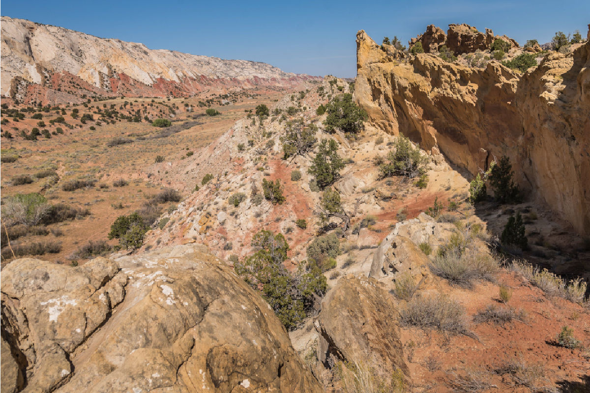
The most scenic section of the Waterpocket Fold is Capitol Reef, featuring massive white domes of Navajo sandstone, and craggy barrier cliffs, or reefs. Cathedral Valley, at the northwestern boundary, is the lower end of the incline, highlighted by deep erosion and free-standing temple-like Entrada sandstone monoliths. The vast Bentonite Hills roll at the southern end of the park. Read more about Capitol Reef National Park.