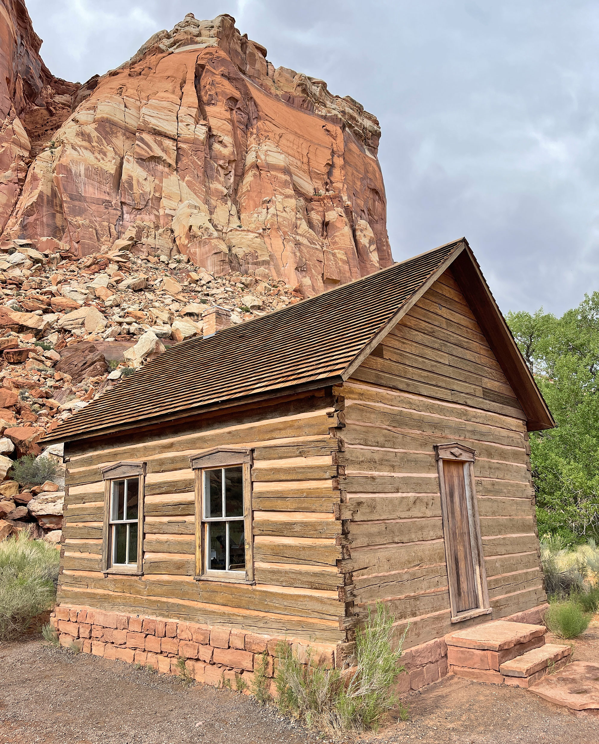
Grand Staircase Escalante National Monument (GSENM) covers a vast 1.9 million acres of canyons, cliffs and rugged backcountry, nearly double the combined land of Utah’s five national parks. Managed by the Bureau of Land Management (BLM), the monument is bordered by Bryce Canyon to the northwest, Glen Canyon National Recreation area to the east, and Capitol Reef National Park to the northeast.
RECREATION
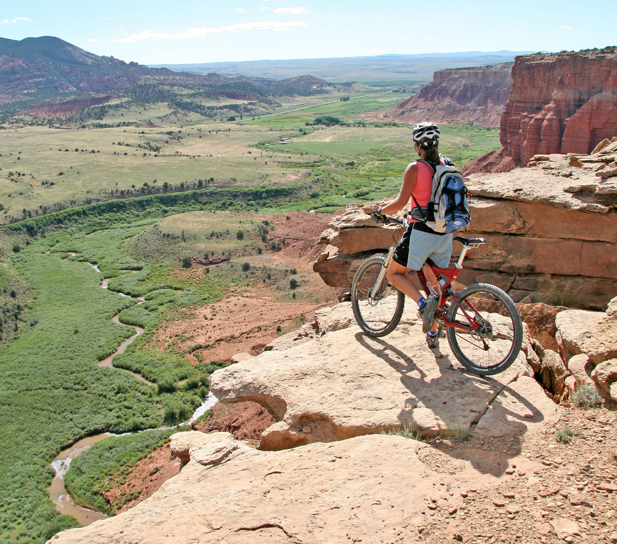
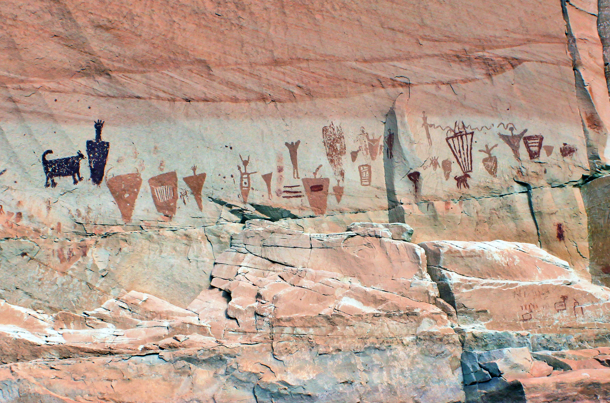
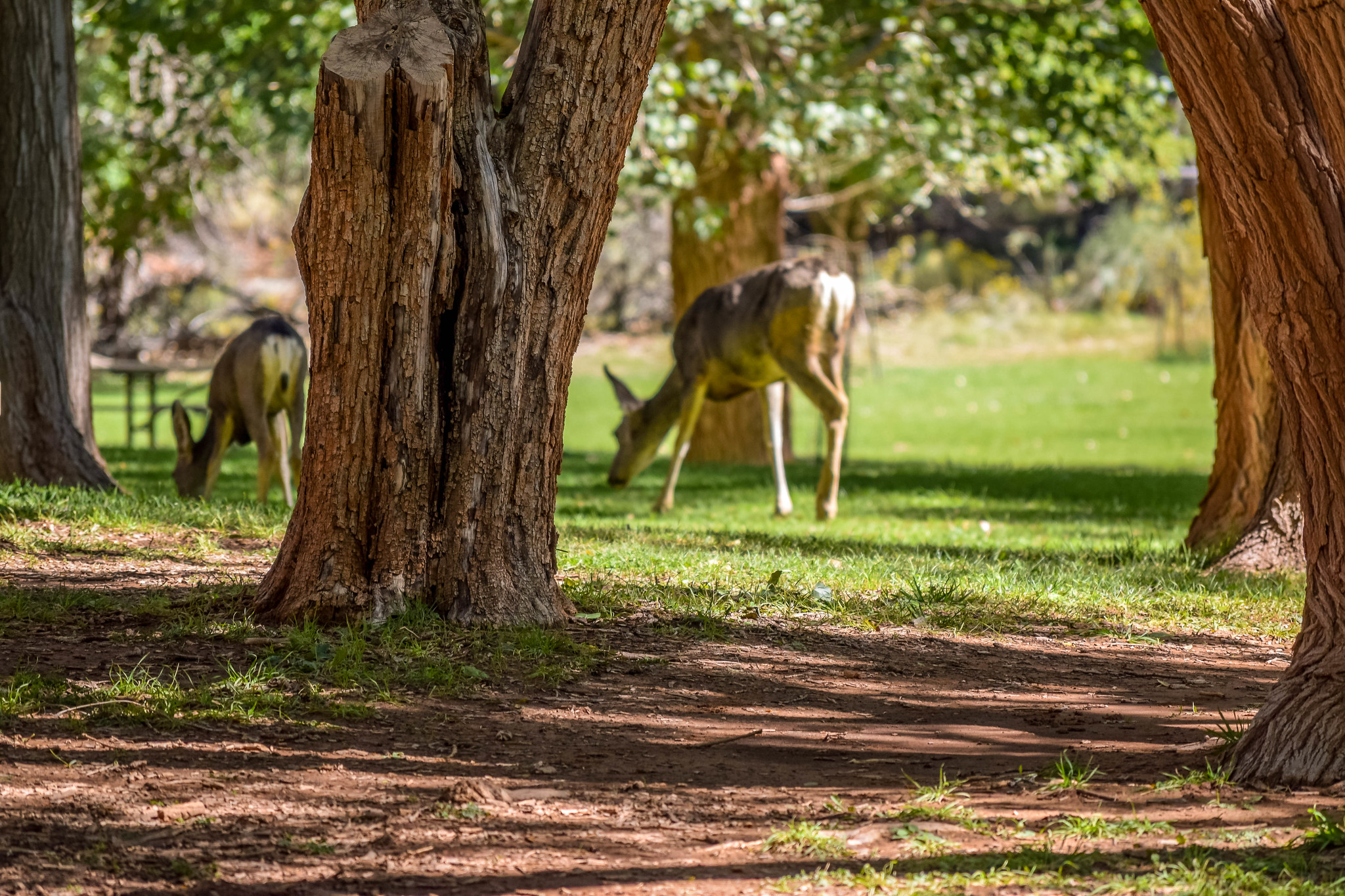
The recreation possibilities within the monument boundaries are limitless, from camping, hiking, biking, bird watching and scenic drives to overnight backcountry treks (permits required by the BLM), extreme canyoneering, off-roading and more. Two major rivers run through the monument’s boundaries, the Paria and the Escalante. The topography varies from verdant to desert, and is home to wildlife that is as varied as the landscape. The area is also so rich in dinosaur fossils that some paleontologists say the monument holds the highest concentrations of fossils in the world. GSENM is a photographer’s paradise.
ACCESS POINTS
The north side of GSENM can be reached via Highways 12 and 24 from Bicknell, Caineville and Torrey, which make excellent home bases for exploring the region. From Caineville, head west on Highway 24. Turn southwest onto Capitol Reef Road, which merges into 1670/Notom Road. Continue south to 1668/Burr Trail Road and head west. This loop takes you through the monument, past majestic sights such as Peek-A-Boo Rock, Studhorse Peaks, Durffey Mesa and Sugarloaf. Turn north on Scenic Highway 12 toward Boulder. At the intersection of Highways 12 and 24, you can complete the loop by traveling east back to Caineville, or head west to Torrey, Bicknell, or Loa. If you are beginning in Loa or Bicknell, take Highway 24 east toward Torrey, then turn south on Scenic Highway 12. Just south of Boulder, turn east onto 1668/Burr Trail Road and continue through the GSENM. At 1670/Notom Road, head north back up to Highway 24, and turn west to Torrey.
REMOTE LOCATIONS
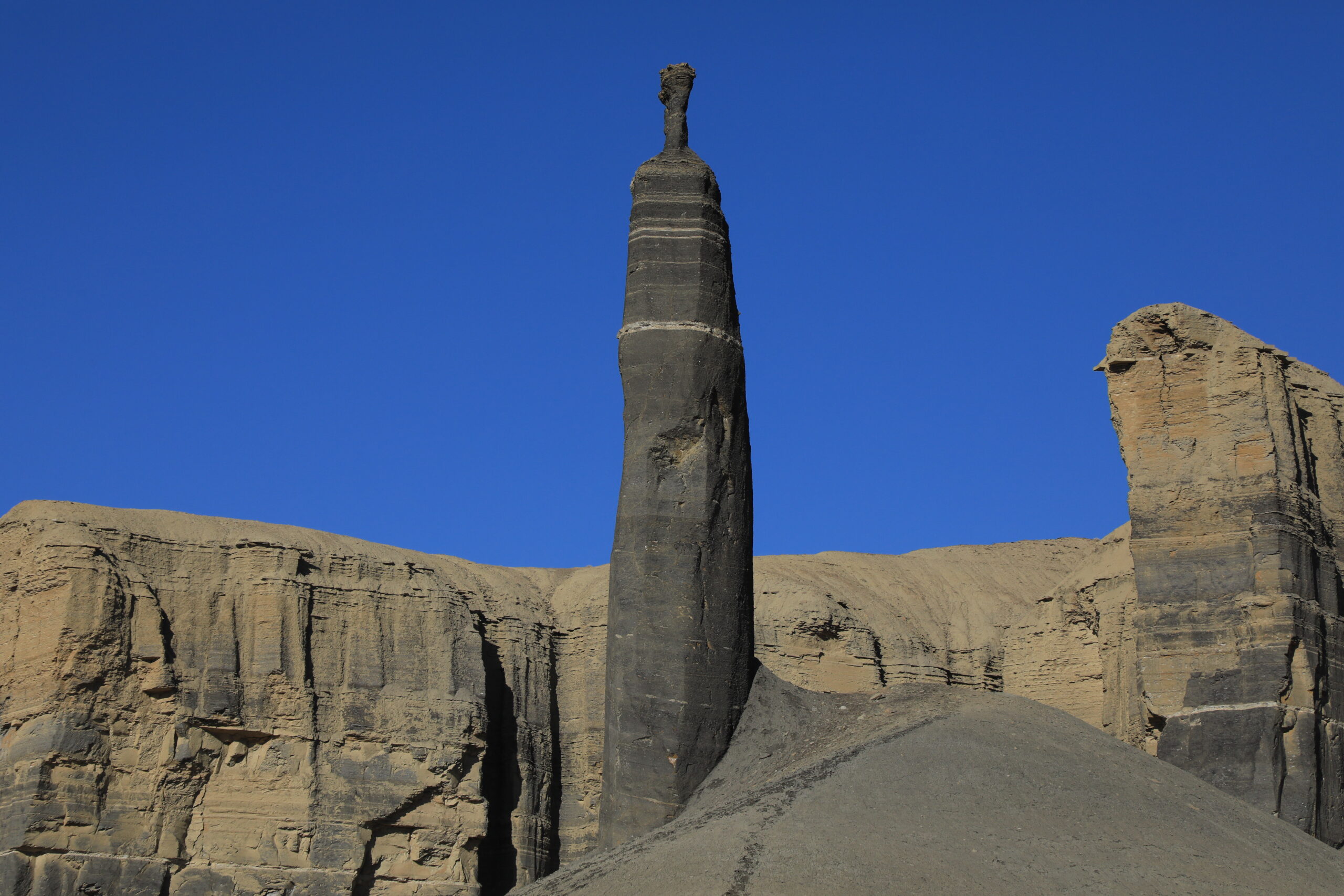
Most of the monument landscape is remote and untamed, the result of billions of years of changing landscape and climate. The uplift of the Colorado Plateau exposed a four billion-year geologic timeline, revealing layers of history from the Chocolate Cliffs in the south to the younger Pink Cliffs at the north. The monument has three geographically-distinct regions: the Grand Staircase, the Kaiparowits Plateau, and the Escalante Canyons.
